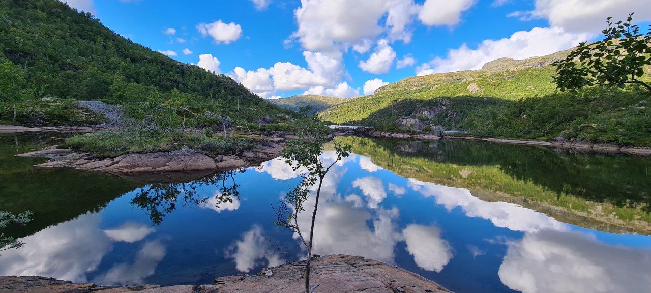
The Rallarvegen cycle route officially runs from Haugastøl through Finse, Hallingskeid, Myrdal, and down to the town of Flåm. It is also possible to complete the route oppositely, as we did. The road itself is an attraction, leading through a fantastic mountain area starting at sea level by the Aurlandfjord and peaking at 1,350 meters above sea level. It runs along the plateau between the national parks Hallingskarvet and Hardangervidda.
The road was originally intended for the transport of people and material during the construction of the most mountainous section of the Bergen-Oslo railway line. It is currently a cultural and historical monument. The Norwegian parliament decided on the construction of a road and a railway connection between Bergen and Oslo as early as 1894. Thousands of workers and hundreds of horse-drawn carriages were needed for transportation and construction. The railway line was officially opened in 1909. “Rallar” was the name of the workforce that later gave its name to this famous construction road, now a cycle path.
The cycle path was opened in 1974. It gradually became so popular that today around 25,000 cyclists cross it annually, mainly cyclists from Norway, but also from abroad.
The town of Flåm, where we started the cycle route, is located at the end of the Aurlandfjord, one of the arms of the Sognefjord. Flåm is a very popular place, especially in summer, when even large cruise ships come here. Apart from campsites, the town offers only daily parking spaces for travelers in motor homes. The solution for us was to spend the night right in front of the gates (=tunnel) of the city itself.
Max elevation: 891 m
Min elevation: 1 m
Total climbing: 1654 m
Total descent: -1654 m

