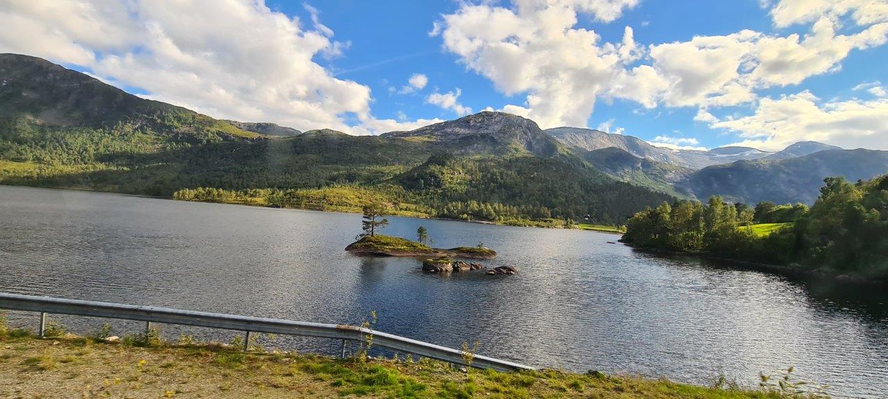
The Norwegian Gaularfjellet Scenic Route is less known and therefore less visited and very peaceful compared to other well-known scenic routes. Well, it is a hidden gem among them. Its total official length is 114 km, and it overcomes a height from 0 to 784 m above sea level, it is divided into two parts, namely a shorter one: Sande – Eldalsosen on road no. 610 and the second longer Moskog – Balestrand on road no. 613. We drove the longer part. On the left, somewhere above us, the Jostedalsbreen National Park spread out with all the glaciers, including the Briksdalsbreen glacier. To the right in the distance are the hills of the nature reserve Stølsheimen.
The road runs along several fjords, climbing zigzags, slowly, at a moderate pace upwards, as well as along a protected watercourse called Gaula, which offers everything – from wild rapids and waterfalls to calm stretches where the water just slides silently. There are plenty of smaller parking lots and rest areas along the road, for example, Haukedalen was very pleasant. Likholefossen is probably the most famous of the waterfalls on the Gaula River. The climb ends at the highest point called Utsikten (= the view in English). It is a resting place, with a vantage point from which you can admire the fresh and beautiful landscape, through which the serpentines that were waiting for us wind – for travelers in the opposite direction, there is an interesting view of the place from where they climbed up. After meeting the switchbacks, we found ourselves again at the old known fjord Sognefjorden. This time in his middle part. And instead of Balestrand, we headed for the ferry Draksvik – Vangsnes, after which we continued through other mountains to another part of the Sognefjord, namely the famous tourist town of Flåm lying on one of its arms, and the famous cycle route Rallarvegen.
Here is a link to the official Norwegian site of the Gaularfjellet scenic route.