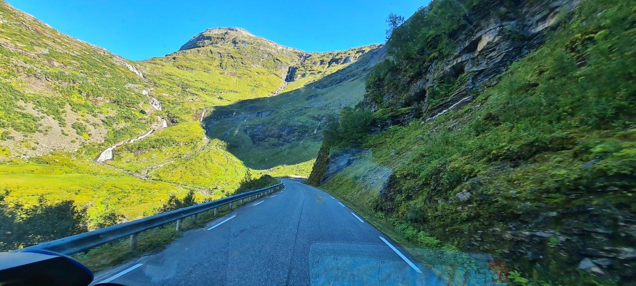
Probably the most famous scenic route in Norway is called Geiranger-Trollstigen. Coming from the south along road No. 63, it starts at Langvatnet Lake and ends after crossing the Sogge Bru Bridge. It is 104 km long and overcomes a height difference of more than 1,000 m. It is necessary to use one ferry Eidsdal – Linge.
It is surrounded by everything that Norway has to offer – the mountain massifs of the Reinheimen National Park and the Geiranger-Herdalen nature reserve, as well as fjords, of which Geiranger is the most famous, and of course waterfalls. Only glaciers are missing…
The area attracts tourists from all over the world, who mostly come by road, but some of them also visit Geiranger by cruise ship.
The road itself is divided into two parts, the dividing point is the small town of Geiranger. The first part between Langvatnet and Geiranger is called Geiranger and is closed from November to May. The turn-off to the Dalsnibba lookout is very popular among motorists, along which a high layer of snow is maintained even in summer.
The second section between Geiranger and Sogge Bru, called Trollstigen, is closed from October to May, except for the section Eidsdal – Ørnesvingen viewpoint, which is open all year round.
In the area, in addition to the mountains, we also admired the lush green valleys, and the views of Geiranger, which are among the most admired in Norway. It is not by chance that it is on the UNESCO heritage list. Along the scenic route, there are many hiking trails to the surrounding hills.
The town of Geiranger is also the starting point of the first scenic hiking route announced in Norway, namely the trail to the Storsæterfossen waterfalls (the other two scenic trails are Preikestolen and Kjerag).
Here is a link to the official Norwegian site of the Geiranger scenic route.