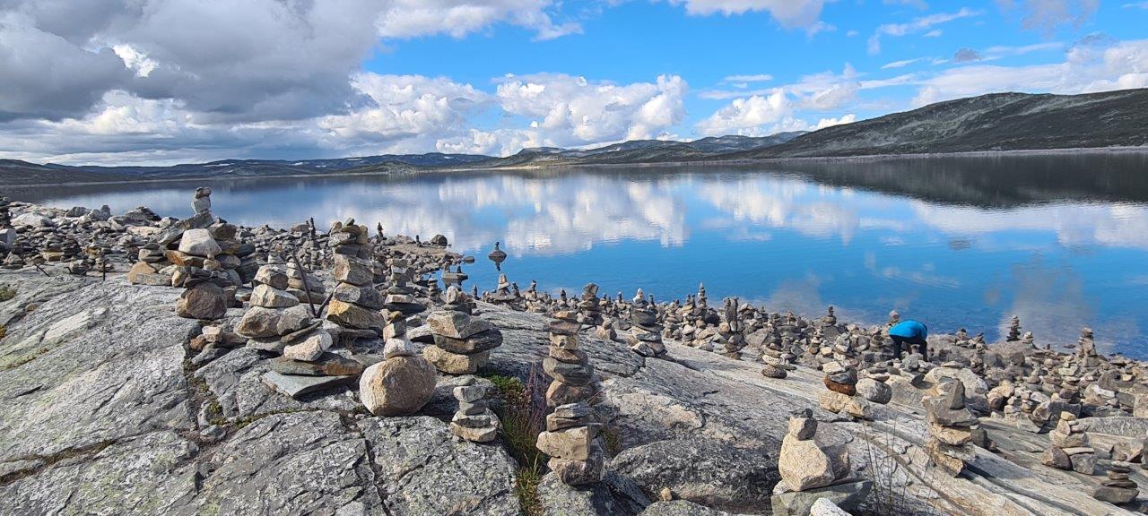
The Norwegian Hardangervidda Scenic Route begins in the tourist town of Haugastøl – by the way, the starting point for the well-known and very popular Rallarvegen cycle tour in Hallinsgkarvet National Park. But heading west after a few kilometers, the Hardangervidda National Park begins on the left side, along which the road leads us to the largest plateau in Europe at an altitude of 1,250 m. From the plateau, a stunning panorama can be seen to the right with the Hardangerjøkulen glacier in the background. One of the largest herds of wild reindeer in Europe also lives on the Hardangervidda plateau.
But the attractiveness of this road does not end there. After crossing the plateau, we arrive at the turnoff to Norway’s largest waterfalls, Vøringsfossen. They roll down the mountainside from a height of 182 meters, and it’s an impressive sight. Those who are not afraid of heights can try to cross the bridge over the canyon of the waterfall. Or explore Vøringsfossen up close, as the hiking trail also leads through the valley of the waterfalls.
And after the experience of the waterfalls, we will go down the serpentines through the beautiful and steep Måbodalen valley to the typical fjord landscape, all the way to the famous and beautiful Hardanger fjord to the village of Eidfjord, where this scenic route ends.
The road is open year-round, unlike many other scenic roads. Winter conditions sometimes cause a convoy system to be in operation, driving behind a snowplow to ensure the road is passable.
The Hardangervidda Scenic Route is 67 km long and is part of Route No. 7.
Here is a link to the official Norwegian Scenic Route website.