Cirque de Gavarnie in June 2024
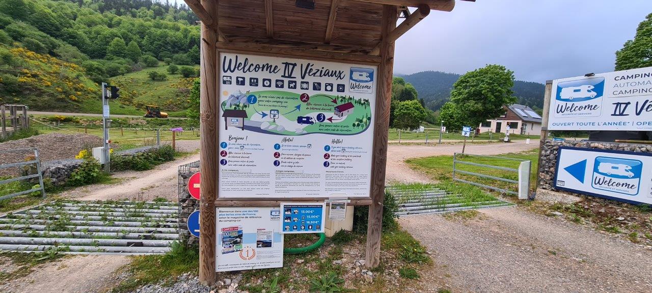
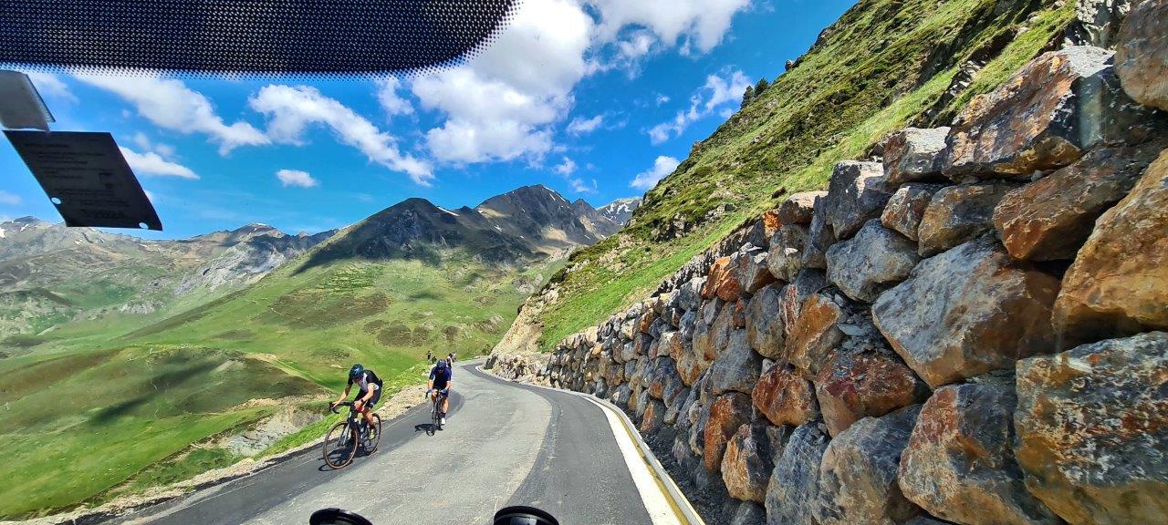
After a pleasant overnight at Les 4 Véziaux, we hit road No. D 918, leading to the Col du Tourmalet.
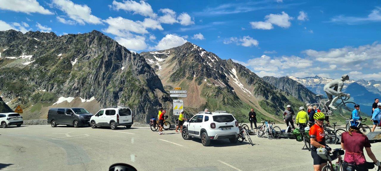
The Col du Tourmalet, with its highest point at 2.115 m, is the second-highest paved mountain pass in the French Pyrenees ( the highest and paved is the Col de Portet, 2.215m).
The Tourmalet Pass is extremely popular with cyclists, frequently serving as a stage in the Tour de France, including during our visit in 2024.
The name “Tourmalet” means in the Gascon language “Distance Mountain”.
Tourmalet is also a cheese made from sheep milk produced in these mountains.
We reached that pass on our way to the village of Gavarnie.
Starting from Sainte-Marie-de-Campan, the eastern climb is 17.2 km long and gains 1,268 m at an average of 7.4% and a maximum of 12%.
Each mountain kilometer passes cycling milestones that indicate the summit’s height, the distance to the summit, and the average gradient of the next kilometer. The east side of the climb to Tourmalet is France’s 24th most strenuous bike climb.
And so logically, the Col du Tourmalet is one of the most famous climbs on the Tour de France, starting in 1910 when the Pyrenees were introduced.
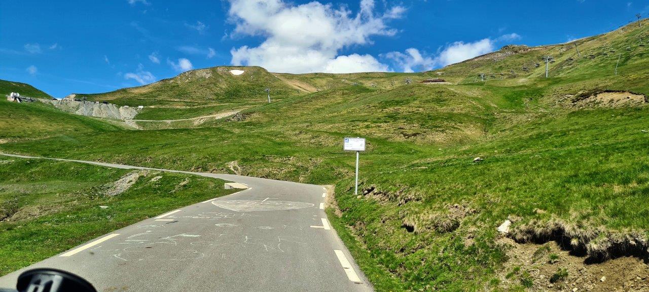
A rough track leads to the Pic du Midi de Bigorre observatory from the Tourmalet Pass.
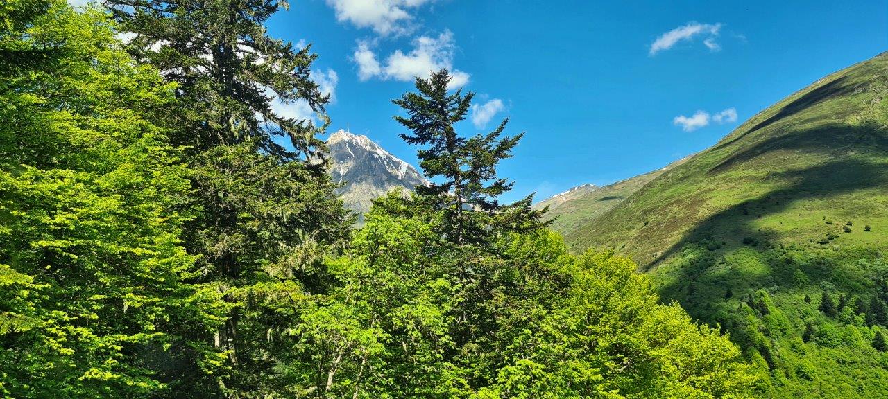
However, the pass was just a crossing point into the French Pyrenees National Park for us.
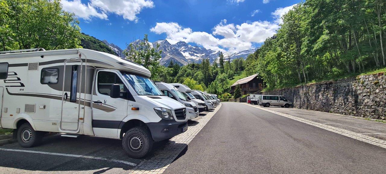
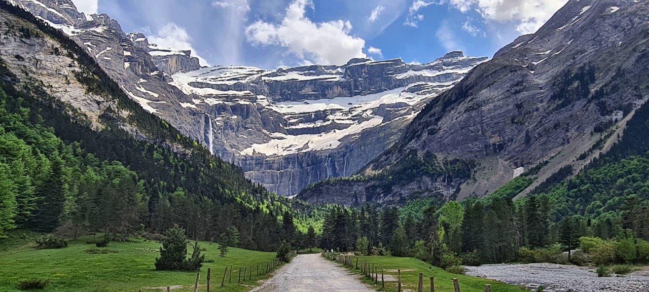
Gavarnie was our destination on the southern edge of French National Park Pyrénées. It is best known for being the starting point of the Cirque du Gavarnie trail.
The Cirque de Gavarnie is a cirque in the central Pyrenees, close to the border of Spain. It is within Pyrénées National Park. Significant features of the Cirque are La Brèche de Roland and the Gavarnie Falls. It was described by Victor Hugo as “the Colosseum of nature” due to its enormous size and horseshoe shape, resembling an ancient amphitheater. The Cirque de Gavarnie is an out-and-back trail about 10 – 11 km long.
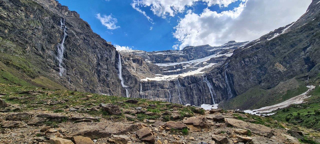
The Cirque is 800 m wide (on the deepest point) and about 3,000 m wide at the top. The rock walls surrounding it are up to 1,500 meters above the floor of the Cirque.
The largest is Gavarnie Falls, the second-highest waterfall in continental Europe, not counting Norway’s sixteen highest European waterfalls. It descends some 422 meters over a series of steps before reaching the floor of the Cirque.
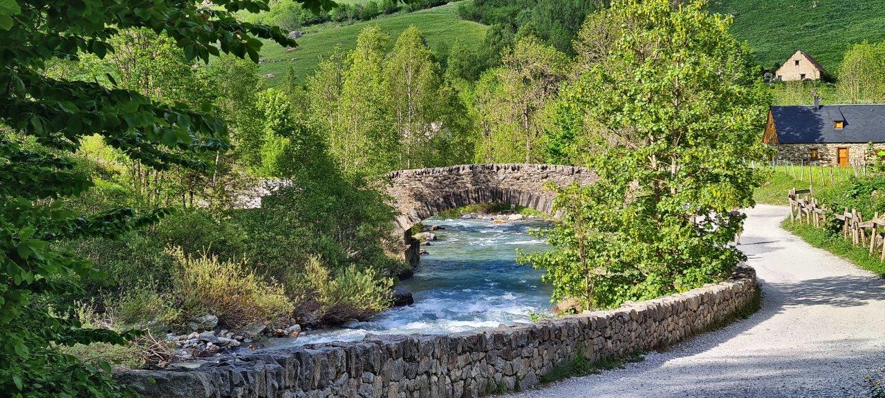
The river Gave de Gavarnie is formed by melting glaciers flowing down in the form of waterfalls from the surrounding three-thousand-meter-high rocky massifs.
More photos: Col du Tourmalet
More photos: Cirque de Gavarnie