The Norwegian Scenic Route Sognefjellet is the highest mountain pass in Northern Europe. It climbs through the valleys from 0 to 1.434 m above sea level. Its length is 108 km and travels from Lom to Gaupne and it is a part of the route No.55. The road is also the second gateway to the Jotunheimen National Park with great scenic views of its many two thousand peaks including the highest peak in Norway, which is Galdhøpiggen rising to the height of 2,469 m.
The road offers many parking lots and resting places like Mefjellet, Oscarshaug, and Vegaskjelet, including the possibility to go on many hikes directly from the parking lots or just enjoy the views of the surrounding snow-covered mountains and crystal clear lakes.
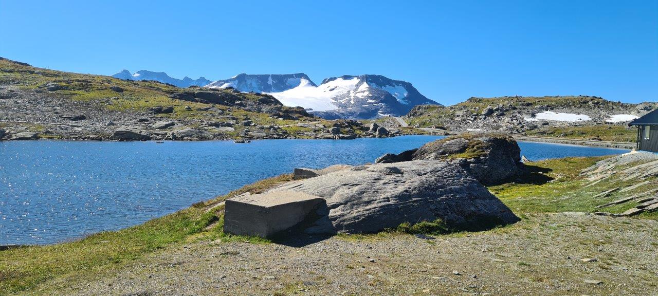
After reaching a place called Sognefjellshytta offering a parking lot and a short panoramic hiking trail, the road begins to slowly descend through the valleys and get closer to the Sognefjorden, after which it is named.
The Sognefjorden is famous for its clear waters, changing color from green to blue reflecting the mountains and the light depending on the weather conditions.
Here is a link to the official Norwegian Scenic Route website.