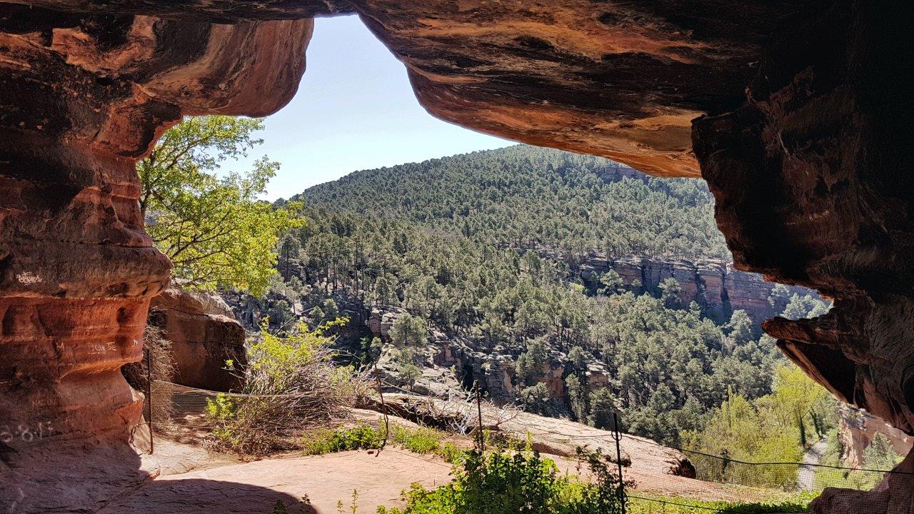
Our wandering through Spanish national parks and protected natural areas also included the Alto Tajo Natural Park. And it was precisely the case when you don’t expect much, but in the end, the area’s beauty hit us so hard that, in our eyes, it overtook other, much more famous parks.
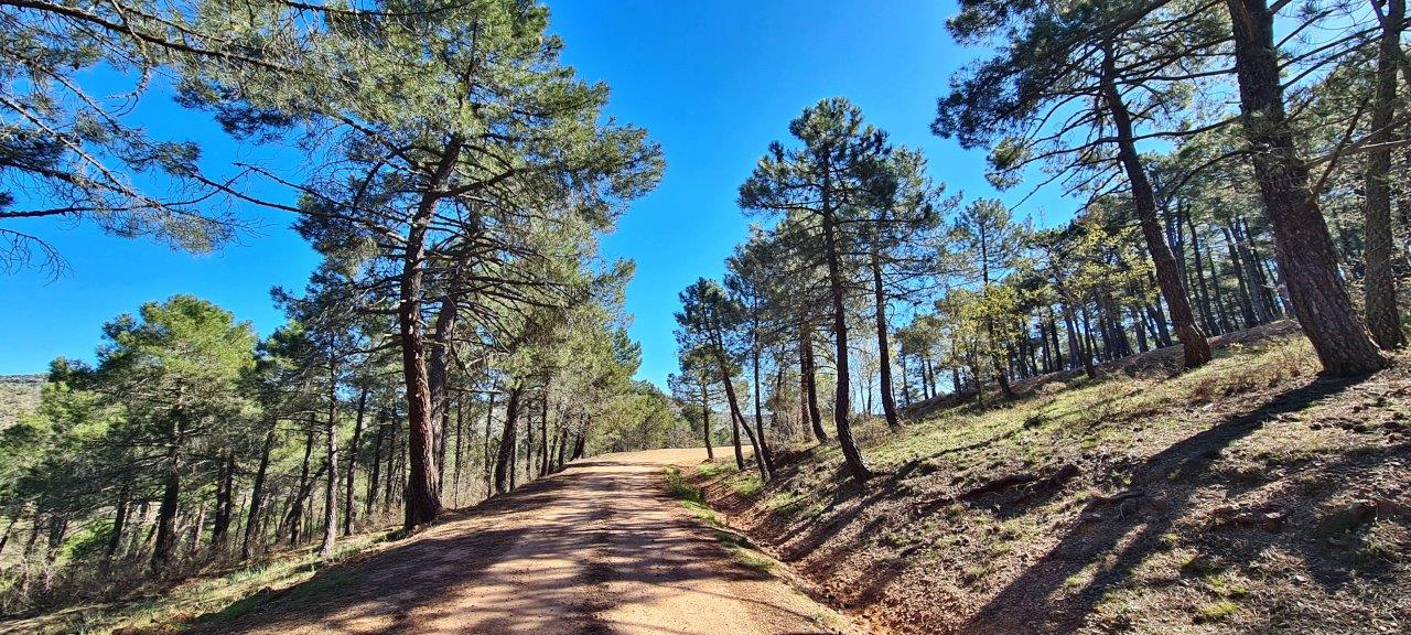
We started on its edge near the town of Corduente. For the first hike in the area, we chose Barranco de la Hoz. It is also called “Barranco de Hierro,” which means “Iron Ravine” in English, likely due to the area’s iron-rich terrain and natural resources.
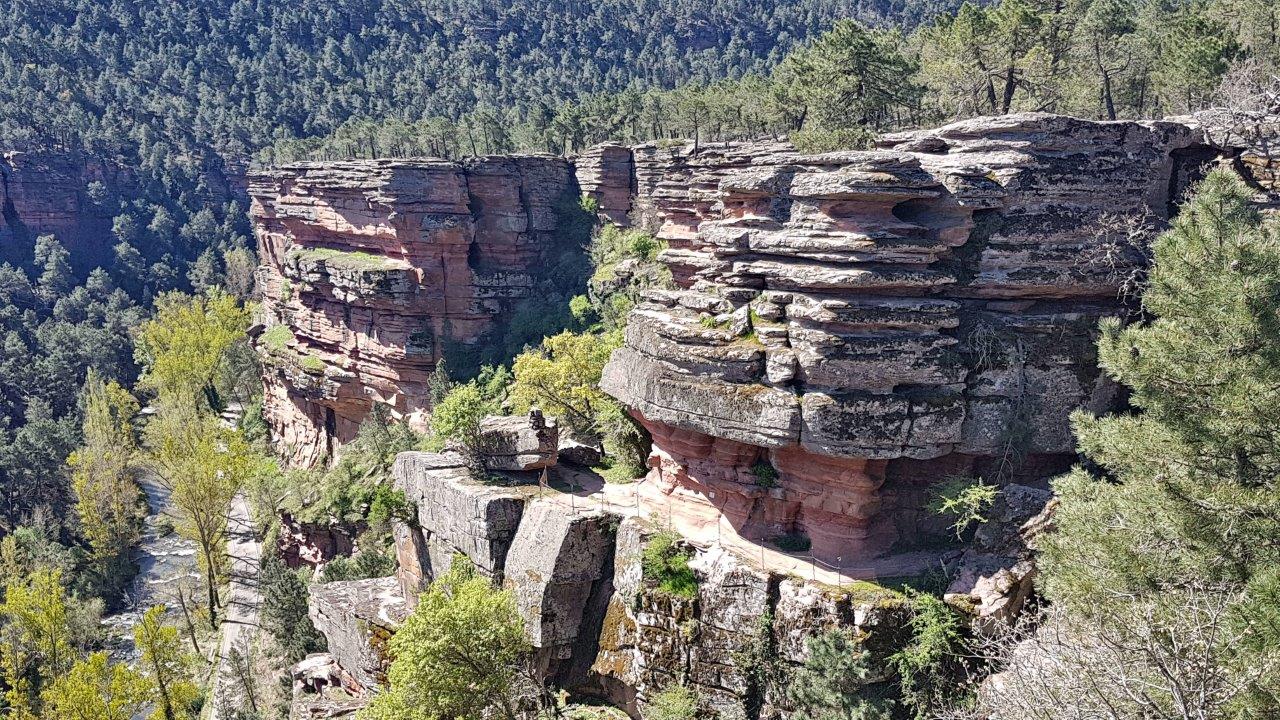
It is a picturesque ravine along the river Gallo and above the Sanctuary de la Virgen. Hiking this trail offers lush pine forests, stunning natural landscapes, dramatic cliffs, and deep gorges. The ravine is an attractive destination for outdoor enthusiasts, including hikers, nature lovers, and photographers.
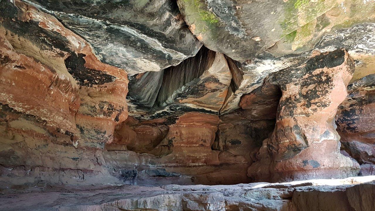
This beautiful cave is on the descent from the upper edge of the ravine down to the road along the Gallo River. We didn’t find out its name, so maybe it’s nameless.
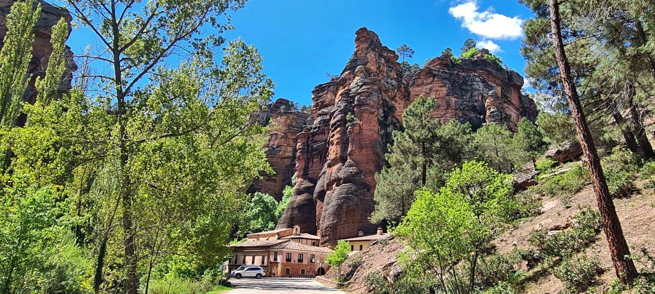
The trail descends to the Gallo River valley and goes to road No.GU-958 near the Sanctuary of the Virgin.
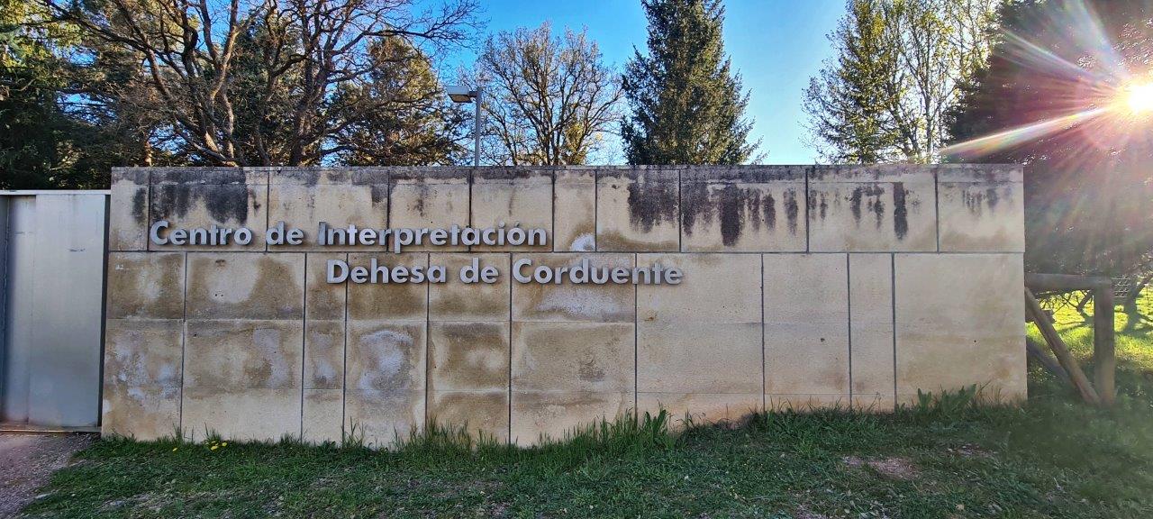
The area is part of the Molina-Alto Tajo UNESCO World Geopark. The interpretation center Dehesa de Corduente is located just a few meters from the parking lot.
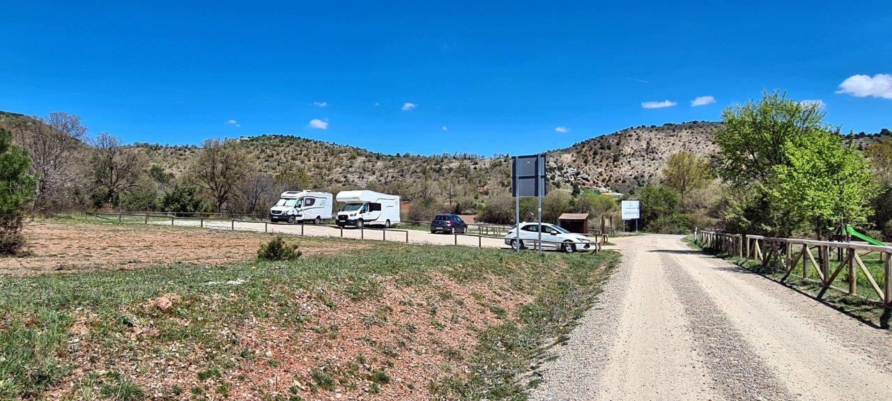
The parking lot at the beginning of the trail and near the interpretation center Dehesa Corduente is limited to a maximum of 4 motorhomes for overnight.
GPS:40.852276, -1.999015
You can read more about the area here:
https://geoparquemolina-altotajo.com/en/item/barranco-de-la-hoz-del-rio-gallo/
More photos from Barranco de la Hoz
