After exploring the beauty of the Gavarnie Valley and the highest waterfalls in mainland France, we headed to the Gaube Valley, another beautiful valley located next door in the heart of the Pyrenees National Park.
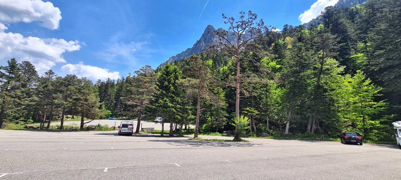
The valley begins at the end of the five km-long “Route du Pont d’ Espagne” road. This road starts after the town of Cauterets and ends at a large parking lot for visitors, including a section for motorhomes. It is a daily parking lot, and overnight stays are not allowed. However, just a few hundred meters from this parking lot is the famous Pont d’Espagne.
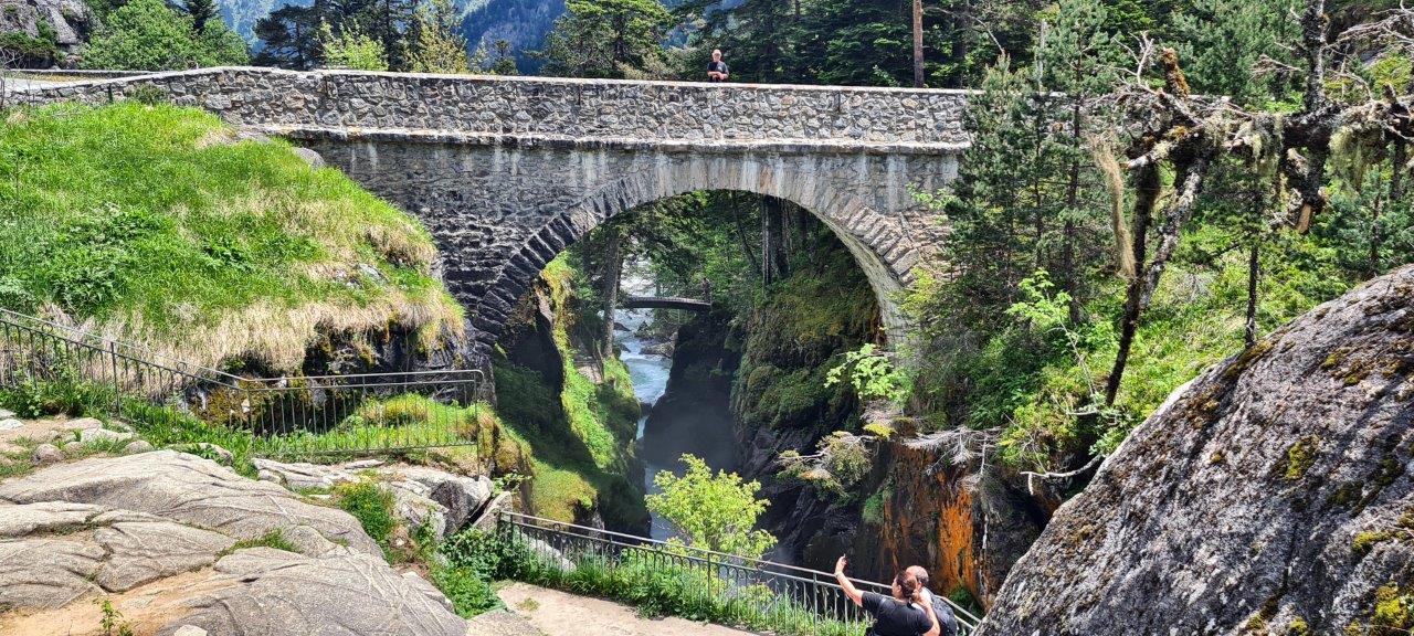
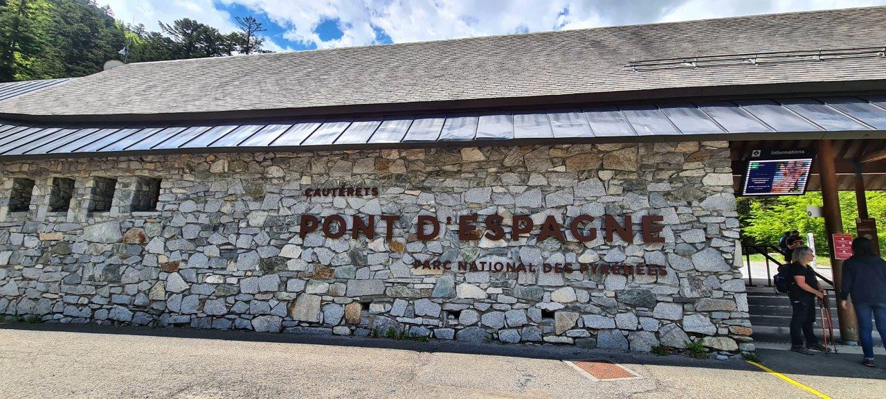
The Pont d’Espagne is a French natural tourist site located approximately 1,500 m above sea level in the protected area of the Pyrenees National Park. Its name comes from the stone bridge, which allows you to cross the river Gave, and from the fact that it is an old route to Spain via the mountains.
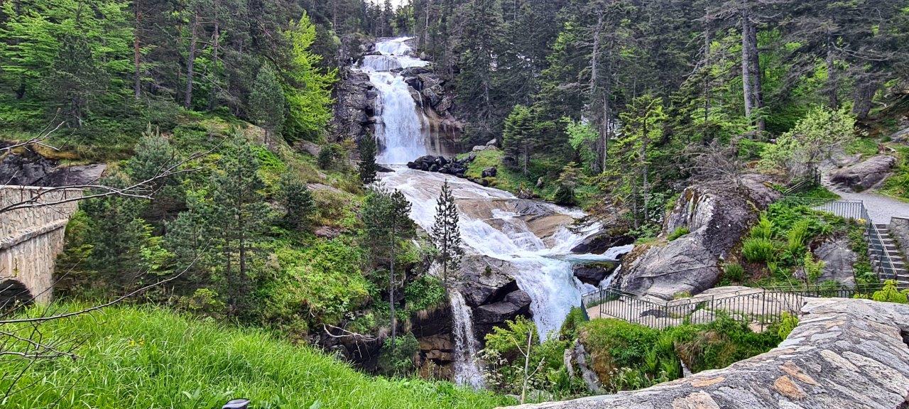
On the road between Cauterets and Pont d’Espagne, there are many magnificent views of the waterfalls, which are spectacular, especially in spring when the snow melts.
The Pont d’Espagne is the starting or finishing point of several hiking routes.
We chose the trail to the famous Lake Gaube. We went up to it along the GR10 trail and back along another route that led past the final station of the cable car.
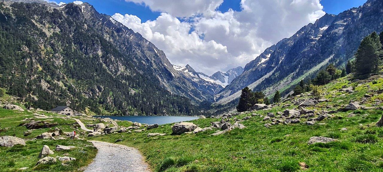
The lake’s name is tautological. In the Gascon language, Gaube means “lake” so the place name is “Lake Lake.”
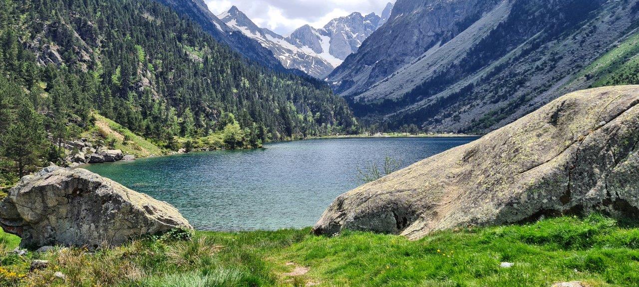
The lake is situated at 1725 m, an egg-shaped form stretching along a north-south axis in the valley of Gaube. This steep-sided valley is located at the foot of the Vignemale (3298M). The lake is surrounded by the peak Mayouret (2688 m) to the east, the prominent Peak of the Paloumères (2720 m) to the southeast, and the peak of Gaube (2377 m) to the northwest.
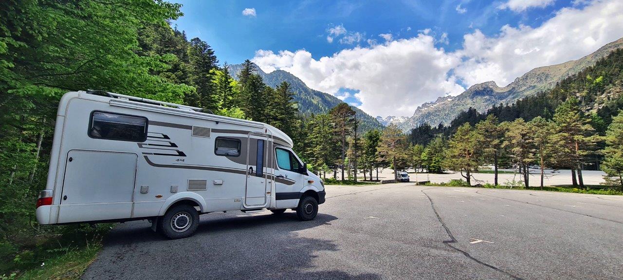
Daily parking at the end of the “Route du Pont d’Espagne” is convenient. However, it is a national park in the Pyrenees territory, so overnight parking is strictly prohibited. The daily fee was 11 € in 2024.