The Norwegian Hardanger Scenic Route winds around the beautiful Hardanger Fjord. It goes on the road No. 79 along the northern shores of the fjord from the town of Granvin to the town of Tørvikbygd, there it is necessary to jump over to the southern shores of the fjord to Jondal using a ferry, and from there on the road no. 550, then using the second ferry Utne – Kinsarvik, ending on road no. 13 going south to the Låtefossen waterfalls, where the Hardanger scenic route ends.
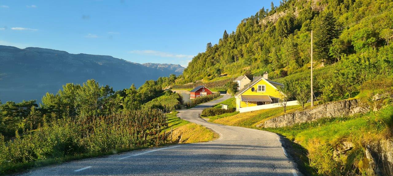
The road is open all year round. It is an ideal destination for waterfalls lovers because the road is lined with waterfalls. To two of them, you have to turn – Skjevsfossen from Granvin, Steinsdalsfossen from Norheimsund. On road No. 550, we were impressed by extensive apple orchards with beautiful fruits, with a tradition of growing them since the 14th century. Well, this road No. 550 itself was incredibly narrow, which can also be seen in the photos.
There are many hiking trails in the area. The most famous one is Trolltunga. We planned to do it. However, the hiking plan is a little more complicated for travelers in a camper van because the beginning of the trail, which is another 10 km on foot to Trolltunga, can only be reached by car. Or to be taken out by two buses, whose timetable was not acceptable to our plan, so we postponed this hike for future trips.
Instead of Trolltunga, we chose the ascent to the Buerbreen glacier in Folgefonna National Park. And it was an experience – starting from driving the road Buervegen leading to the parking lot at the beginning of the trail to the actual ascent to the glacier.
Here is a link to the official Norwegian site of the Hardanger Scenic Route.