The Norwegian Ryfylke Scenic Route is one of the longest of Norway’s eighteen official scenic routes. It is 260 km long and is part of two roads – road No. 13 and Road No. 520.
Coming from the north, it starts in the place of Håra, but immediately it divides into two branches – the northern one goes along road no. 520, the southern one goes along road no. 13. Both branches later connect after crossing the Sandsfjord bridge and head south along road No. 13. On the way, it is necessary to take two ferries on the route: Nesvik – Hjelmeland and Oanes – Lauvvik.
The part of Ryfylke that goes along road No. 520 is closed in winter.
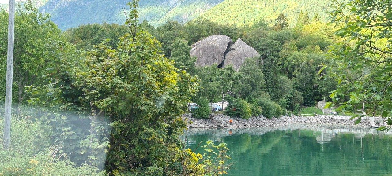
Ryfylke is indeed a path full of contrasts. From the high mountains, including the Røldal mountain pass at an altitude of 972 m.a.s.l. through lush green slopes to deep fjords with rocky cliffs, despite not being part of any national park. The road ends in the town of Oanes, which lies on the famous Lysefjord. Lysefjord is beautiful in itself, but it is world-famous because the most famous Norwegian cliff named Preikestolen rises above it. Above the same Lysefjord, just opposite and deeper inland, rises another well-known rock, Kjerag. Thus, everyone who hiked Preikestolen or Kjerag traveled at least part of this scenic route. In 2020 both Preikestolen and Kjerag got certified as Norwegian Scenic Hikes. And so both joined the historic first Scenic Hike in Norway which is Fosseråsa to waterfalls Storsaeterfossen in Geiranger.
Besides those two cliffs, many peaks in the area are worth climbing. For example, Reinaknuten or Skomakarnibbå, both offer impressive views of large parts of Ryfylke including lakes Tysdalsvatnet and Jøsenfjorden.
An interesting place could also be the circular path around the meteor crater named Ritlandskrateret after the area was hit by a meteor 500-600 million years ago.
So the Ryfylke requires more time not only because of its length but also because of the number of interesting places it offers.
Here is a link to the official Norwegian site of the Ryfylke scenic route.