
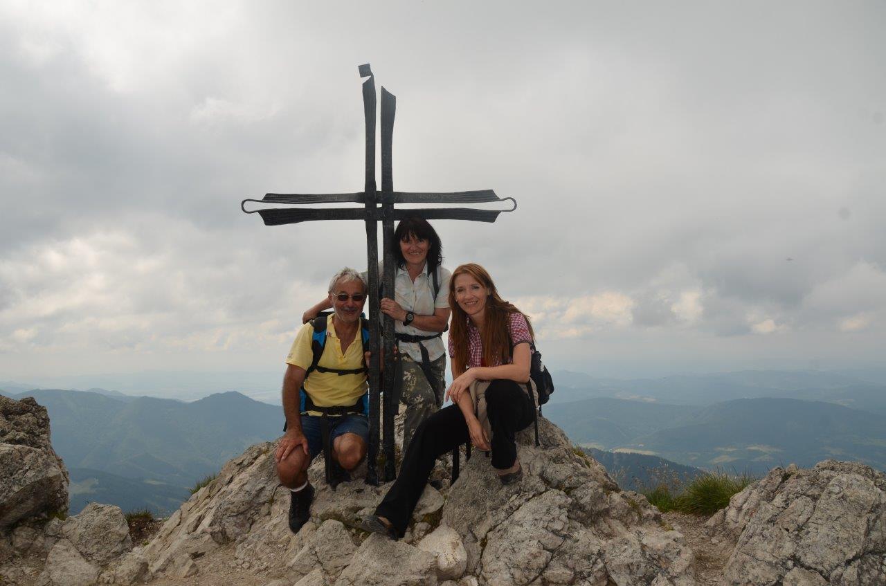
Velký Rozsutec
The National Park Mala Fatra is one of nine national parks in Slovakia. And it belongs to the most popular among the Slovak citizens. There are many symbols and attractions because people often and repeatedly visit this national park. The highest peak is Velky Krivan with a height of 1,708 m above sea level. However, the most attractive peak is Velky Rozsutec ( 1,610 m above sea level) which is like a symbol of the Mala Fatra National Park.
There are about 150 km of hiking trails in the whole area. The hiking trails to both mentioned peaks Velky Krivan and Velky Rozsutec you find here:

The map of Velky Krivan Hiking Loop Trail with a downloadable gpx file
 The map of Velky Rozsutec Hiking Loop Trail with a downloadable gpx file
The National Park Mala Fatra has about 226 km2.
Further useful information about the park you find here.
The map of the Mala Fatra National Park with camper sites, campground, attractions, viewpoints, and trails:
RV Places
Despite the fact that there is no one parking space specialized for campers, we can say that this national park Mala Fatra is a camper-user-friendly park. On the territory of the area, there are parking lots where the overnight is permitted or at least not prohibited and where the camper visitors can start their hiking or mountain biking trails.
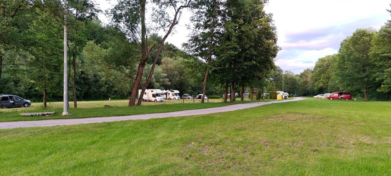
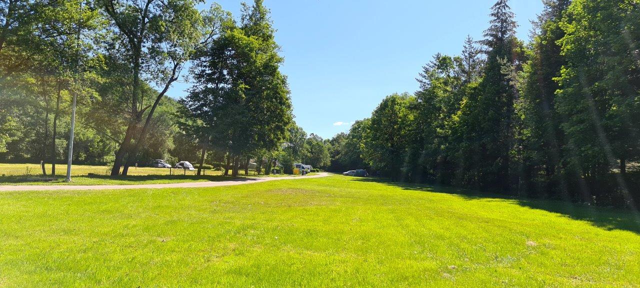
During our visit, we overnighted in the campground Belá. It is a nice campground site, clean and large, with the sites, especially for RVs:
The website of the campground Belá here:
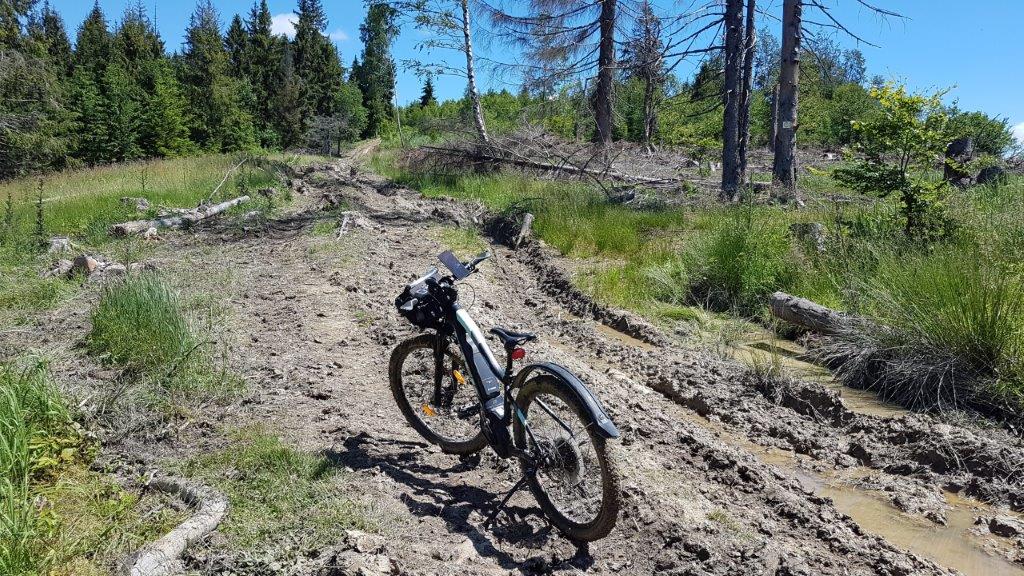
Mountain Biking and Hiking Trails
Visitors can explore the national park area by hiking or mountain biking. We discovered the area in both ways.
The map of our mountain biking trail that we named Camping Bela Loop is shown here.
All the above-mentioned trails and trails shown on the map as well are downloadable as gpx files.
The photo gallery here and the video blog here.
We hope that you enjoy all the provided information about the National Park Mala Fatra Area.