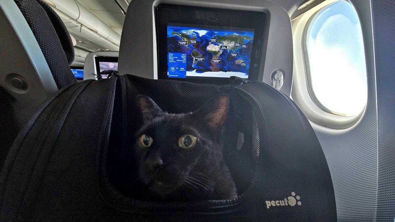
After arriving in Frankfurt from Vienna, we took a direct flight with Discover Airlines to Halifax, Canada. The flight lasted less than 7 hours and was calm. Of course, such a transfer was highly stressful for our two cats. And for us too.
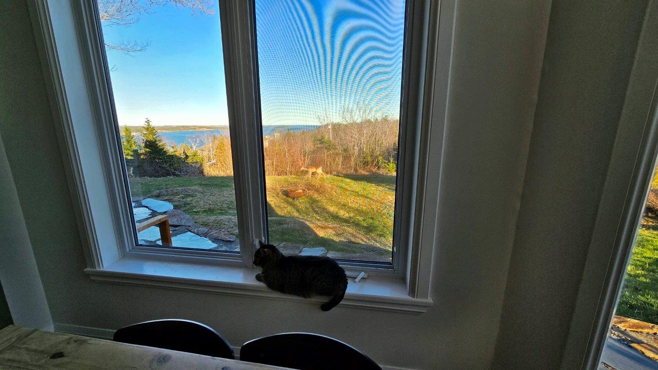
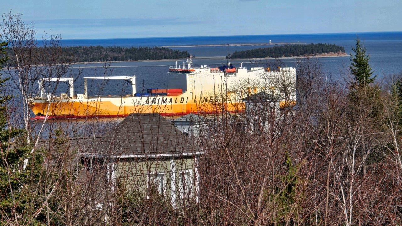
We couldn’t have chosen a more beautiful and relaxing place to wait for a delayed ship than Fergusons Cove. It’s a lovely bay through which ships come into port. A stunning apartment with large windows overlooking the bay. We waited for 5 long days, during which we did some shopping, processed documents for the vehicle sailing on the ship, and overcame the fatigue of the time difference.

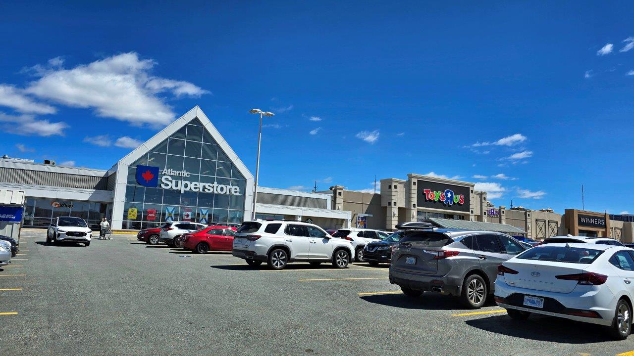
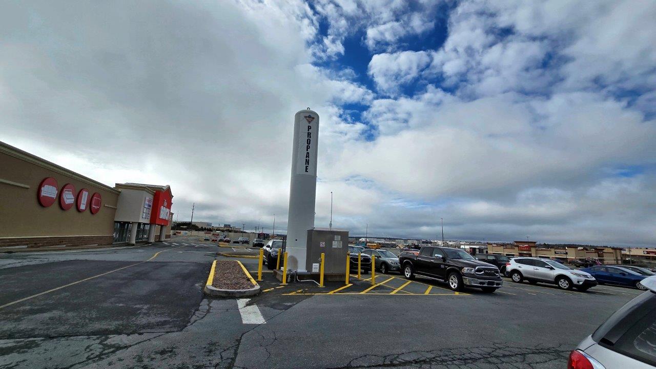
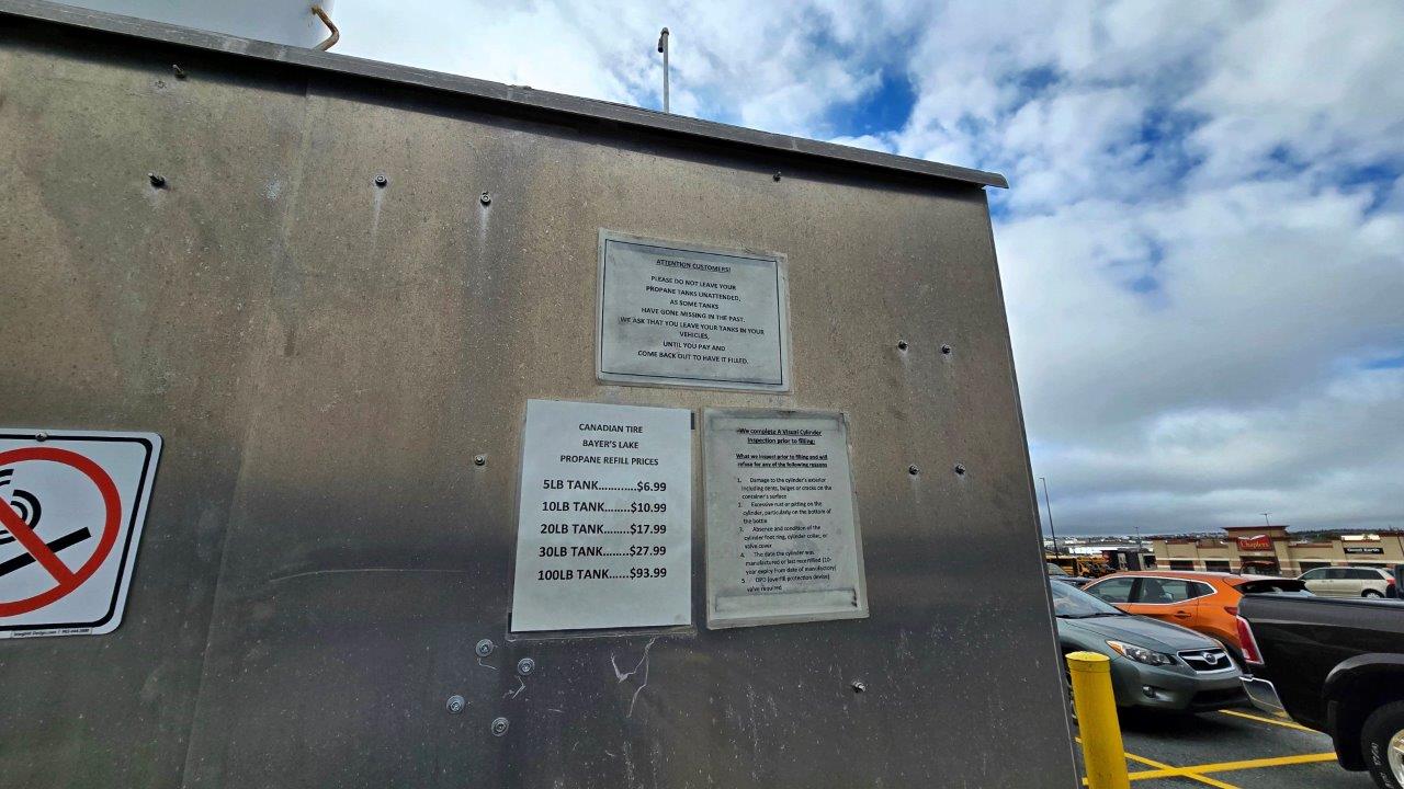
After we picked up our camper van, we got everything we needed for our stay in Halifax and for our upcoming trip at the Bayers Lake Shopping Center. It is one of the largest in Atlantic Canada. Not only food, but also the things needed to travel, including SIM cards, as well as the initial filling of gas and water.
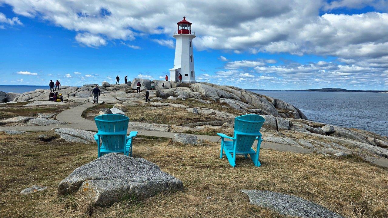
Peggy’s Cove is a beautiful place south of Halifax, about 50 km away. It is a cove with a lighthouse, with a granite coast, and a small fishing village with colorful houses tucked away there. It is said to be one of the most photogenic places in Canada. We’ll see. It was the end of April, a weekday, and quite a lot of people were there. There are two parking lots—one by the visitor center, where overnight stays are prohibited. The second is near the lighthouse, where, on the contrary, motorhomes can only park from four in the afternoon to ten in the morning. A beautiful place to spend the night. Legend has it that the Cove is named after Peggy, who sailed to Halifax to see her fiancé. The ship sank, and the girl was saved by local fishermen. She stayed to live in the village as a sign of gratitude. More photos of Peggy’s Cove.
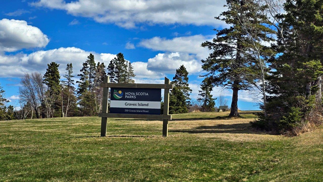
Graves Island is the first conservation area we visited. It is an island near the town of Chester. The trail is very well maintained. Squirrels kept us company on it. The park also offers travelers a pleasant campground, but it is still closed. They open it on May 16, like most campgrounds in protected areas. More photos of Graves Island Provincial Park.
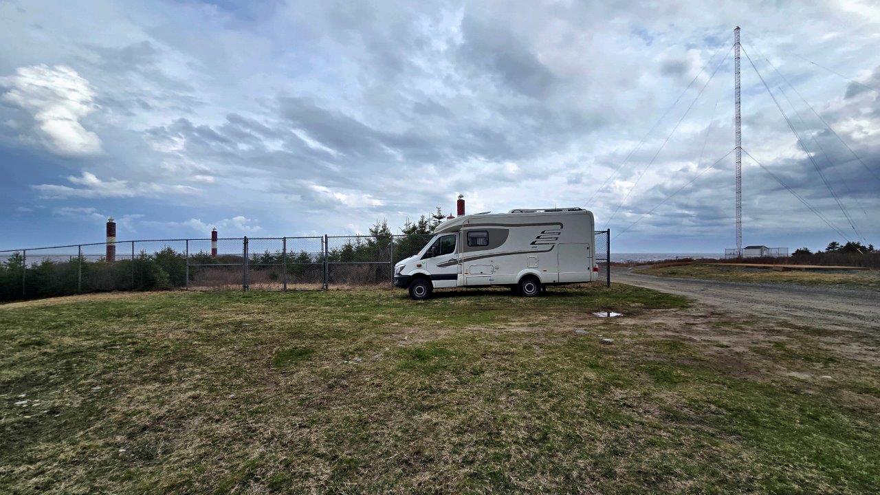
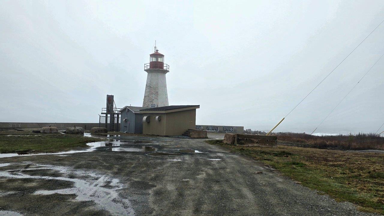
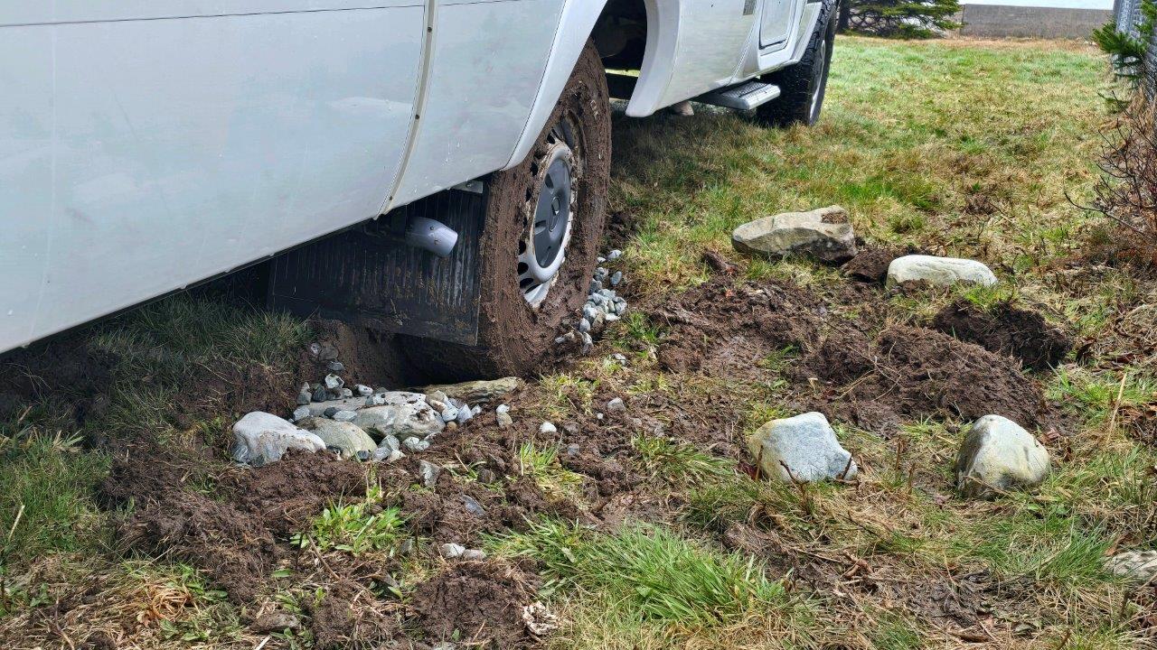
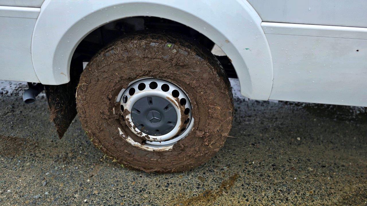
Our first overnight stay in Canada was in a beautiful place, but under unpleasant circumstances. Heavy rain and strong winds at 70 km/h overnight until morning. We hid in the lee behind a fenced plot full of trees, on a flat grassy area. We eliminated the wind slightly. But the next day we discovered a new problem… we sank deeper into the ground. Several attempts failed. Until the famous “last one” came out. Apparently, also thanks to the 4×4 drive. The special off-road tires got covered in mud, and that was the end of it. Before that, we went to see the nearby lighthouse and the huge Atlantic waves.
The first national park on our itinerary was Kejimkujik. It has two parts: a smaller coastal one and a larger inland one. On our way south in the province of Nova Scotia, the coast was the first part. After the ups and downs at the first overnight stay at Western Head Lighthouse, the weather cleared up, and we finally set off on our first hike. The parking lot is for daily use only; overnight stays are not allowed. The coastal part of Kejimkujik National Park itself is definitely worth a visit. More photos of Kejimkujik Seaside National Park.
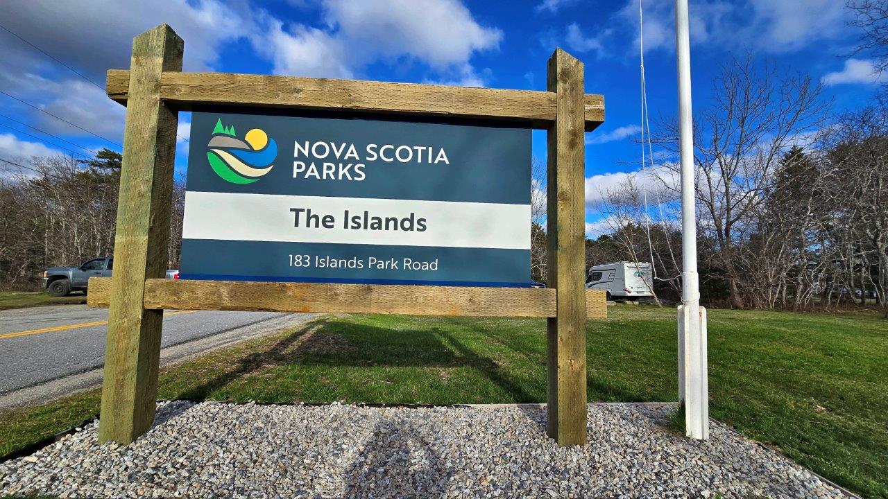
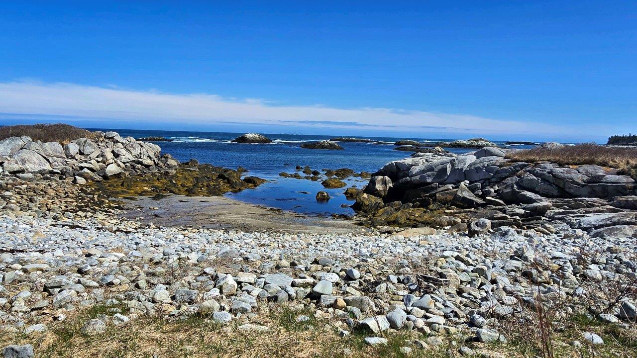
After the beautiful Kejimkujik Seaside National Park, we stopped at the edge of the Islands Nova Scotia Provincial Park. It is behind the village of Shelburne and is a place for locals to relax, especially to walk their dogs. A pleasant place to spend the night.
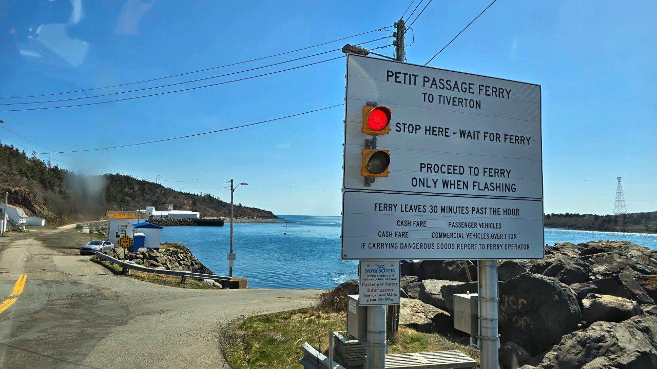
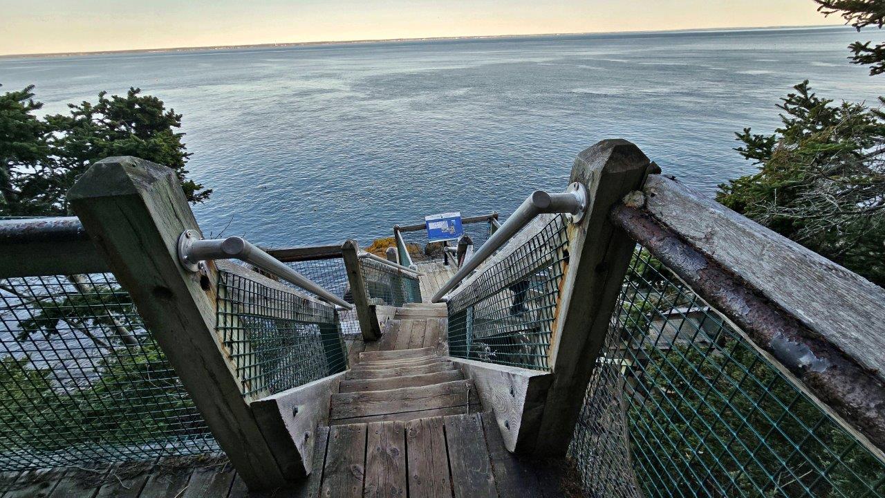
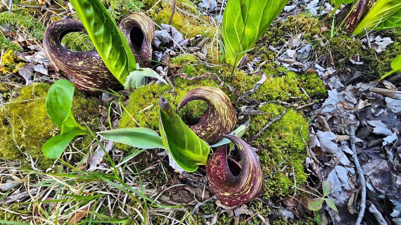
The next day, we drove to Central Grove Island to see the natural attraction of Balancing Rock. There is a short ferry, the Petit Passage, from the mainland (East Ferry) to the island (Tiverton). The beginning of the hiking trail also offers a parking lot with overnight stays allowed. The trail to the attraction is about 1 km long. The last part is a steep set of stairs down, firmly and safely installed. We were alone in the parking lot. Overall peace, although close to road no. 217. The season officially starts here on May 16. One of the typical plants in this area is skunk cabbage. It is characterized by a smell and a property reminiscent of snowdrops. Chemical reactions in it produce enough heat to bloom even when the ground is covered with snow. More photos of Balancing Rock.
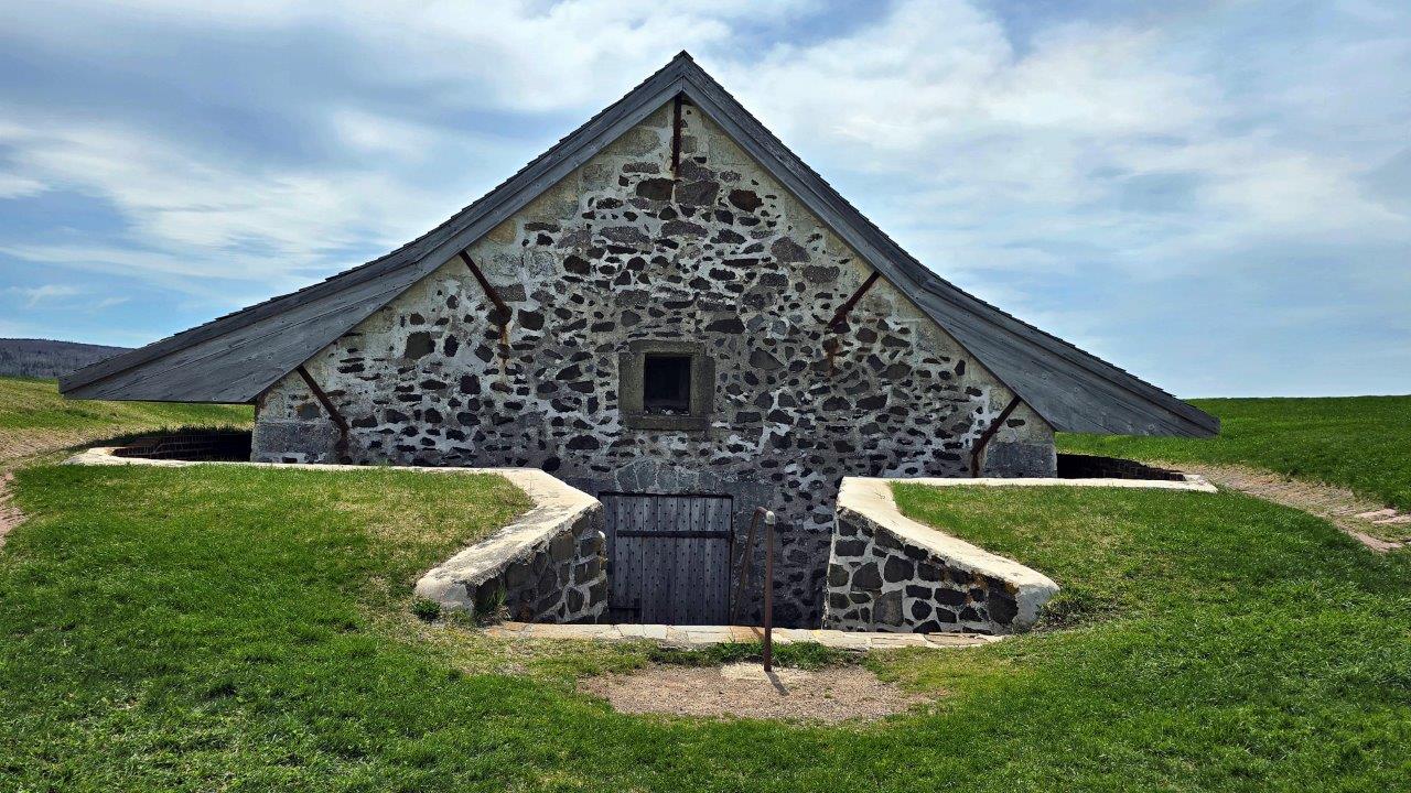
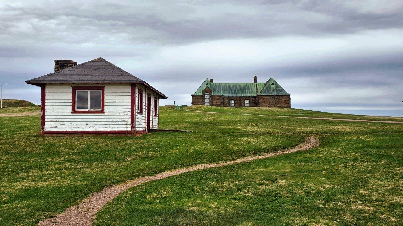
In Nova Scotia, in addition to two national parks (Kejimkujik and Cape Breton), there are several national historic sites. One of the most famous is Fort Anne National Historic Site. And this is where we stopped on the way to Kejimkujik National Park. This is an area in which European nations – French and Scottish, respectively English – fought for dominance for almost 200 years. The place and its surroundings are very well arranged, and many information boards describe this relatively recent history. It should be mentioned that the original population is the Mikmaq, who tried to protect their territory all this time.
More photos of Fort Anne Historic Site.
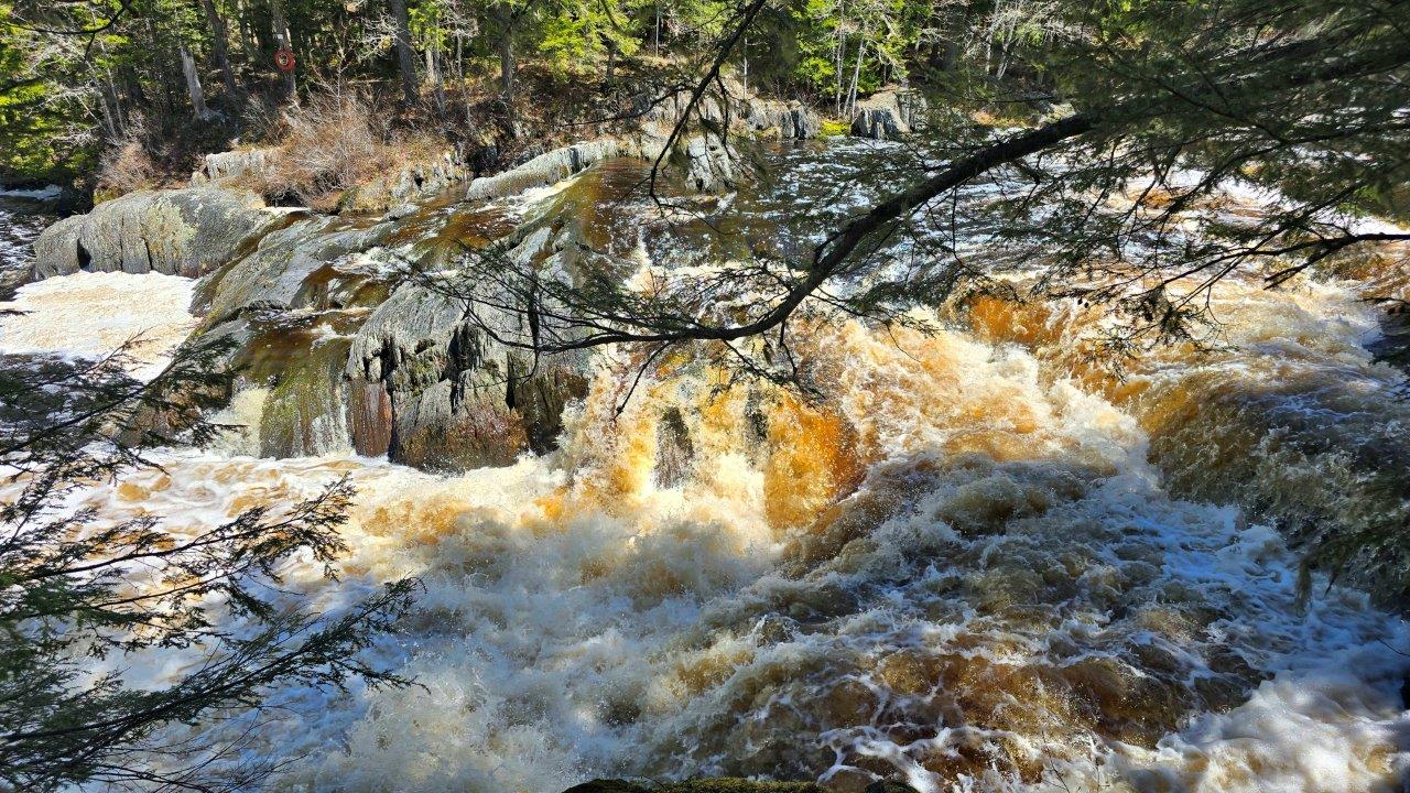
The name Kejimkujik National Park comes from the Mi’kmaq language of indigenous people and means something like “little fairy. “The park is located inland and has many well-maintained hiking trails, cycle paths, and parking lots. The season here starts on May 16, but both the visitor center and the campsite operated by the national park administration were still closed. The park’s dominant feature is the Mersey River, which is distinctive for its brown-to-black color and natural foaming and fast rapids. We crossed the hiking trail leading along both sides of the river. More photos of the Mersey River Hike.
From Kejimkujik National Park, we moved to an area with red-colored soil and huge bare beaches near Blomidon Provincial Park. This beach, called Houston’s Beach, was our overnight stop. Before dark, locals were walking in the distance, probably collecting shells.
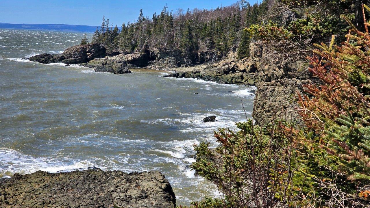
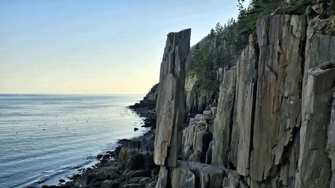
Cape Split Provincial Park is a long, narrow peninsula cut into the Bay of Fundy. At the park entrance, there is a comfortable, pleasant parking lot with a view of the bay. And from there, a hiking trail begins all the way to the very tip of the peninsula, on both sides. The hike leads through forests, with turns to individual lookouts offering views of the cliffs. At the tip of the peninsula, the trail opens into a meadow, revealing iconic sea stacks and basalt peaks carved by the world’s largest tide. More photos of Cape Split Provincial Park.
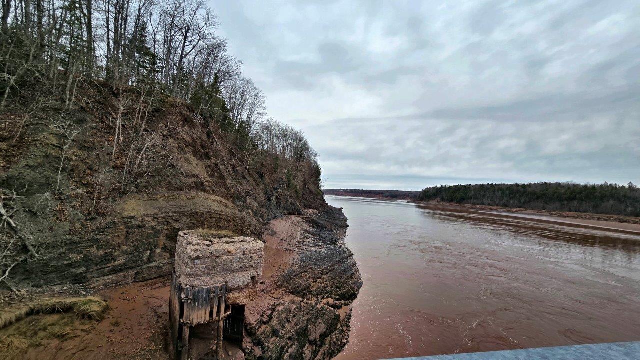
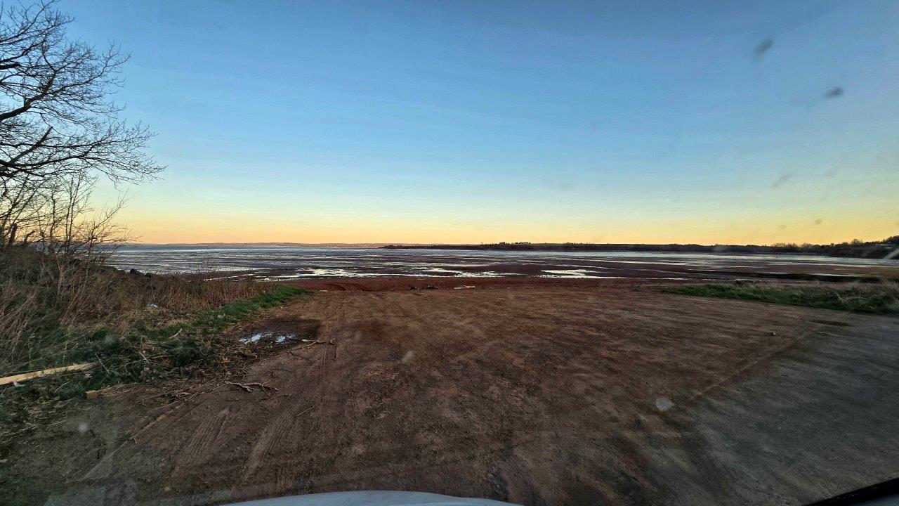
This area is known for tidal waves. This is a natural phenomenon in which the sea tide pushes the river flow in the opposite direction. It is a blow of the Bay of Fundy and several rivers flowing into the bay. It usually occurs twice a day; an annual plan of approximate times and observation locations is issued. Parking lots are set up in some places. We spent the night on one of these; ducks kept us company, along with many birds. We missed the tidal wave, as it happened at four in the morning. We then only looked at the banks of the river through which the wave passed.
We visited Fort Beauséjour on our way to Prince Edward Island. It belongs to the National Parks of Canada in the section of national historic sites. The Fort played a key role in the rivalry between France and England for control of the territory. Built by the French, later controlled by the English, it was renamed Fort. It is interesting because it was built in the shape of a star. For us, it meant a short walk around the Fort and a lunch break. The photo in the Fort Beauséjour gallery also shows the driveway to the Fort. The roads and their poor quality in the form of numerous potholes, cracks, and bumps, even on expressways, are an unpleasant Canadian surprise for us.
April 2025